Examples
48 apps on 16 open-source libraries, from GDAL and OpenSSL to SQLite, compiled to WebAssembly by crossbind. Open one with your own files, and read the C++ and JavaScript behind it.
Start a project
Geospatial
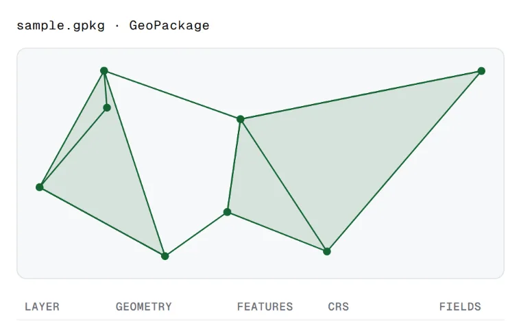 Open twenty vector formats and write seventeen, reprojected, in the pageGDAL
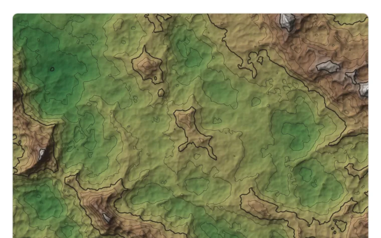 A terrain studio: hillshade, slope, contour lines and what is seen from where you clickGDAL
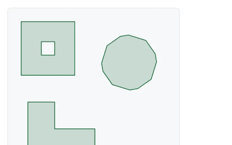 Pixels to polygons: paint, and GDAL traces the shapesGDAL
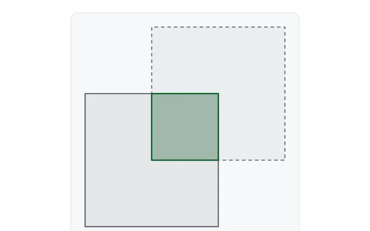 Fifteen geometry operations on shapes you can editGEOS
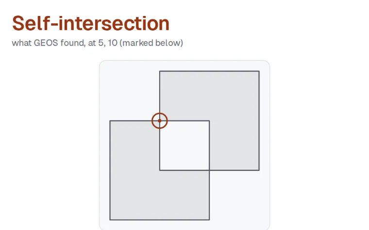 Find out why a polygon is invalid, then repair it two waysGEOS
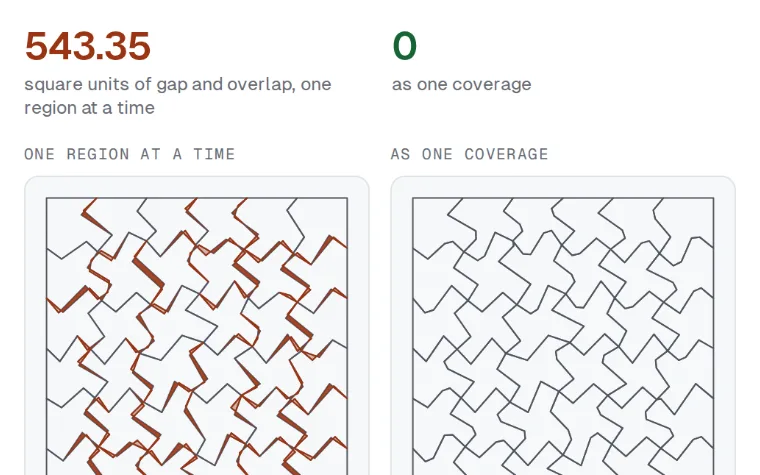 Simplify a map without opening gaps between regionsGEOS
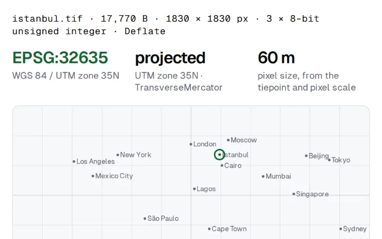 Where is this GeoTIFF?GeoTIFF
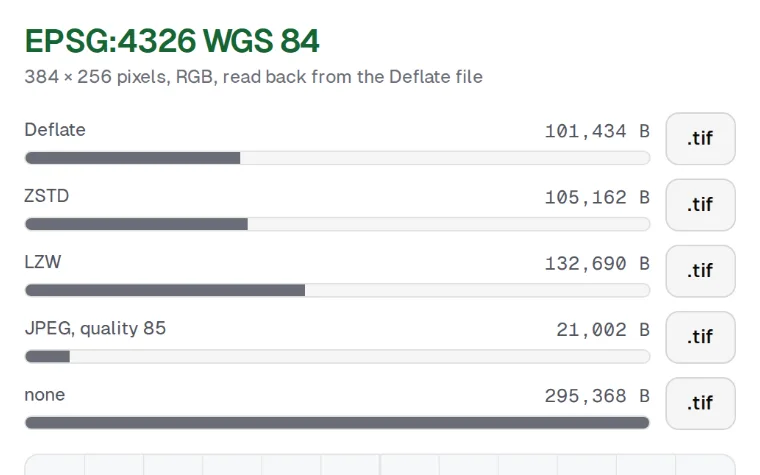 Georeference any pictureGeoTIFF
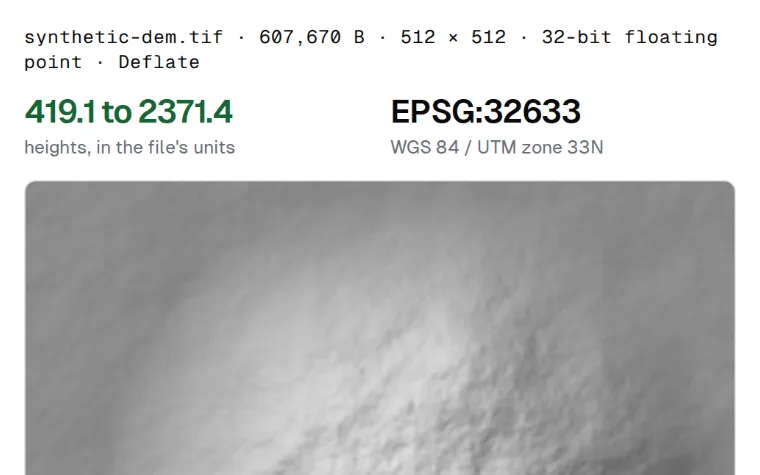 Read heights and degrees off an elevation modelGeoTIFF
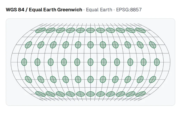 See what a map projection stretchesPROJ
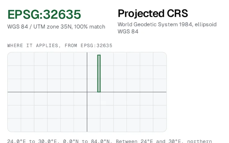 Find out what a .prj is, and every way PROJ can transform itPROJ
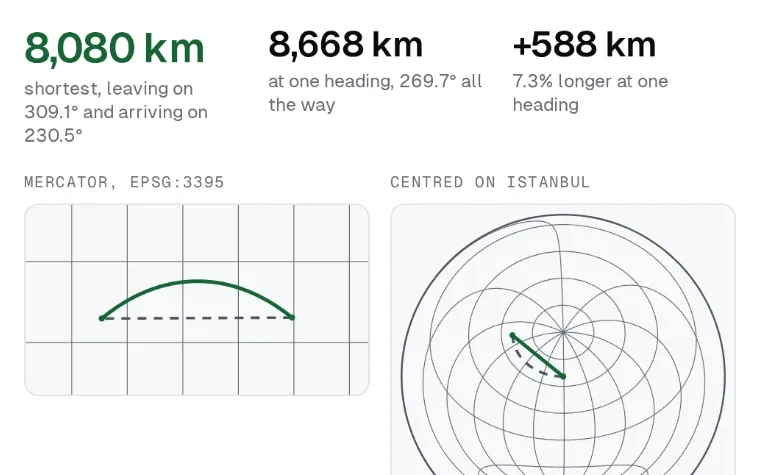 Why flights curve on a mapPROJ
Imaging
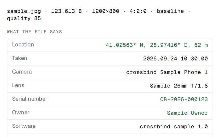 See what a photo gives away, then remove it without re-encodinglibjpeg-turbo
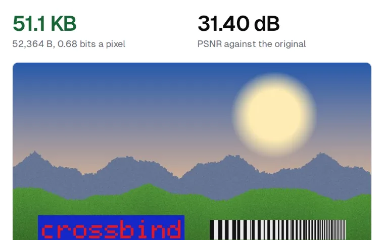 The JPEG settings canvas.toBlob does not give youlibjpeg-turbo
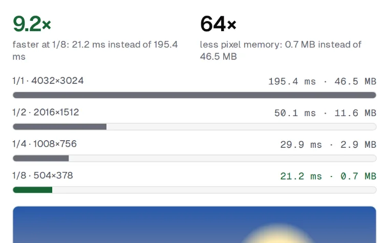 Decode a 12 MP photo straight to a thumbnaillibjpeg-turbo
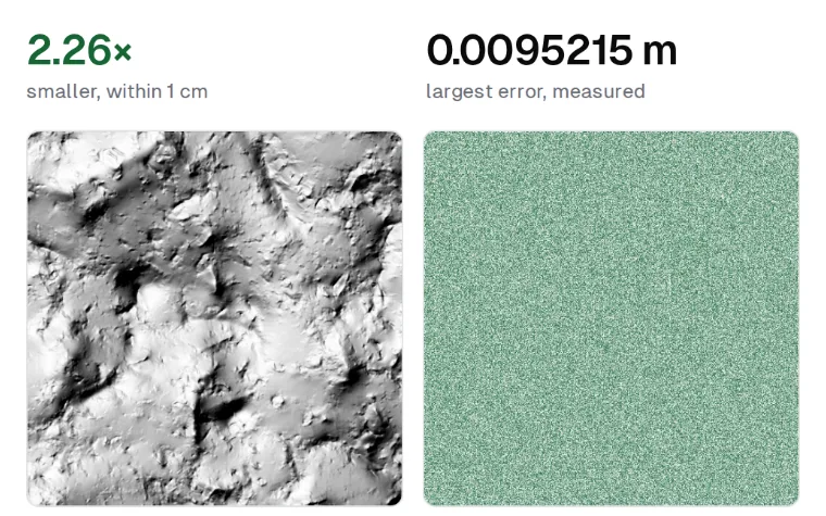 Shrink an elevation model to the error you can acceptLERC
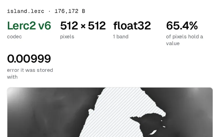 Look inside a LERC tile before you decode itLERC
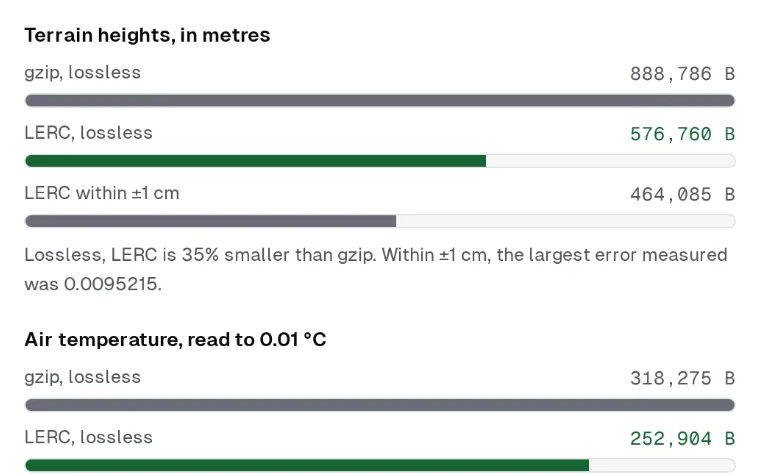 Where LERC beats gzip, and where it does notLERC
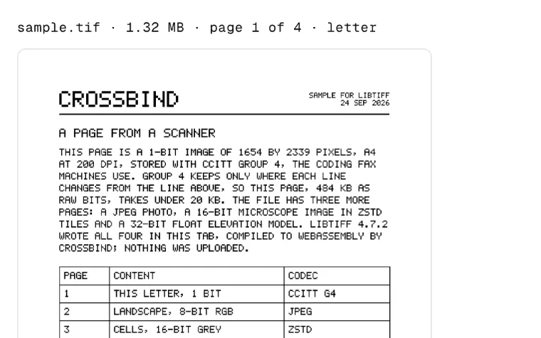 Open any TIFF, in any browserlibTIFF
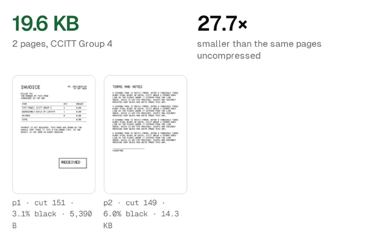 Turn page photos into one archival TIFFlibTIFF
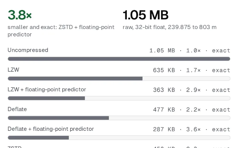 Compare every codec on 16-bit and float rasterslibTIFF
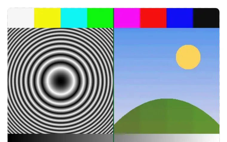 See what each WebP quality costs, and what it gives awayWebP
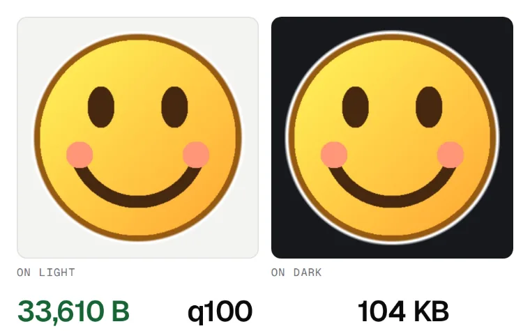 Turn any picture into a sticker that fits the limitWebP
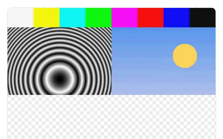 Watch a WebP arrive, row by rowWebP
Database
Crypto and TLS
Networking
Text
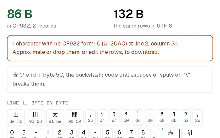
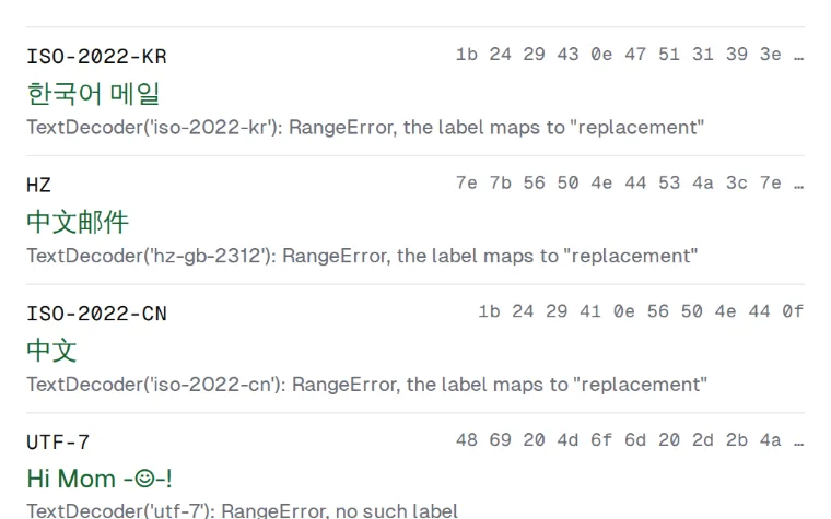
Compression
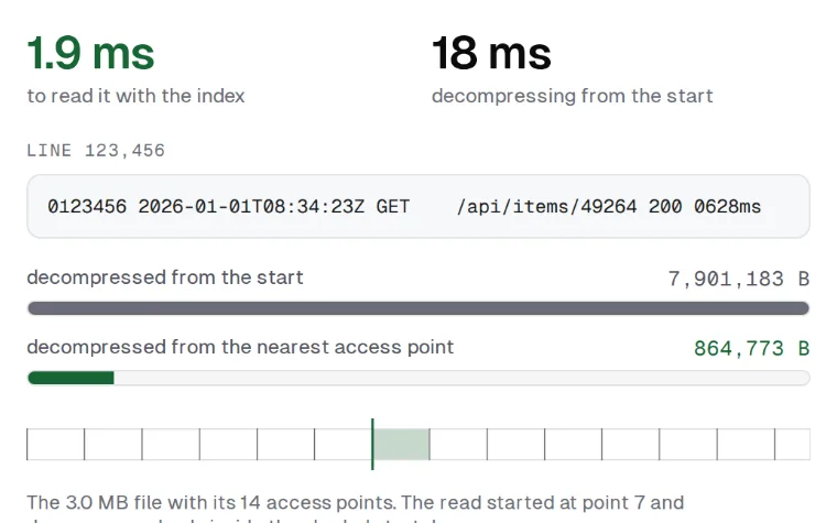 Jump into the middle of a big .gz without unzipping itzlib
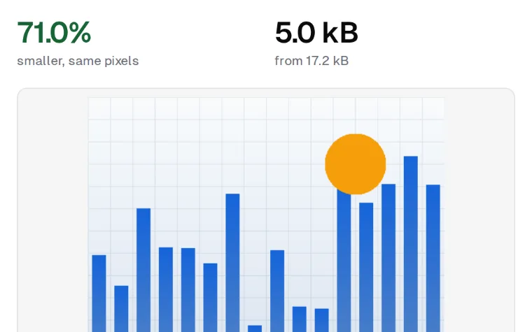 Make a PNG smaller without changing a pixelzlib
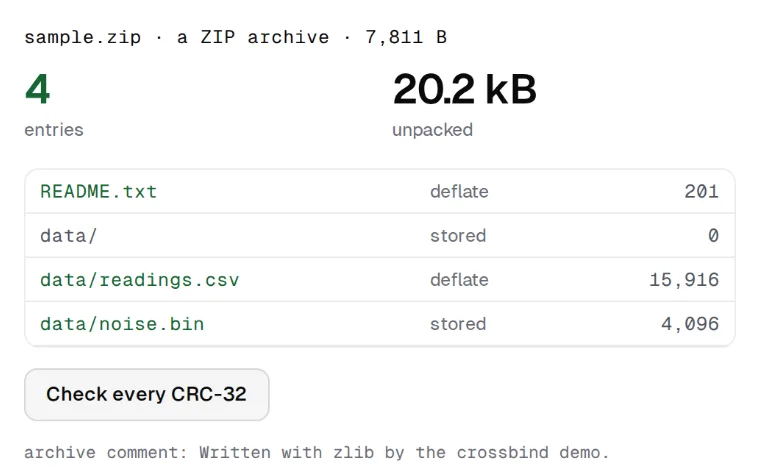 Look inside a .zip, .docx or .xlsx without unpacking itzlib
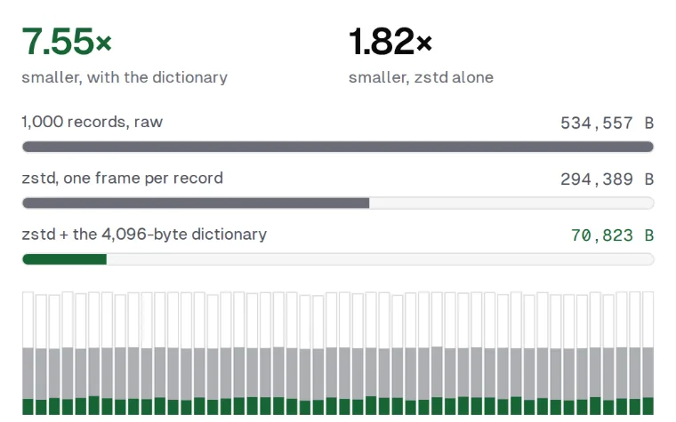 Teach zstd your data, then watch small messages shrinkZstandard
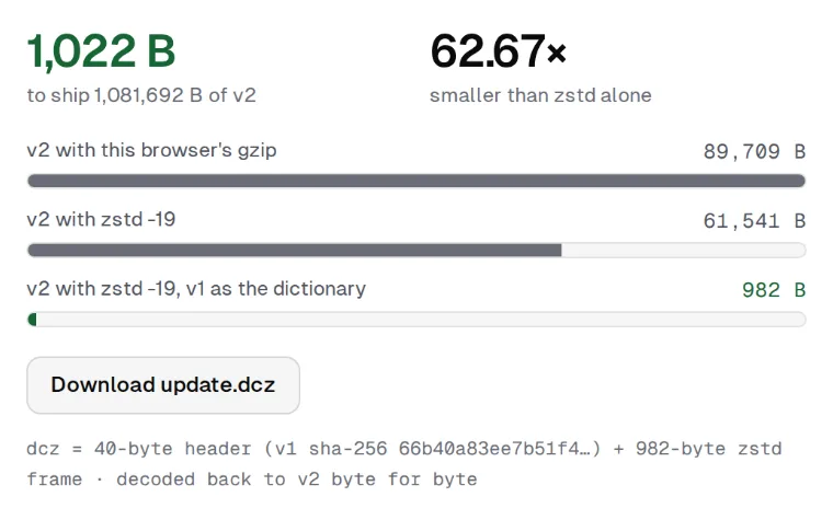 Send a 1 MB update in about 1 KBZstandard
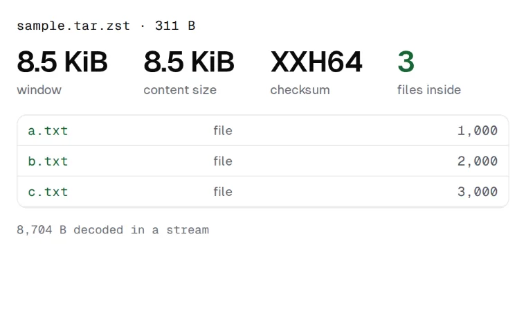 Look inside a .tar.zst without unpacking itZstandard